Current Undergraduate Research Topics

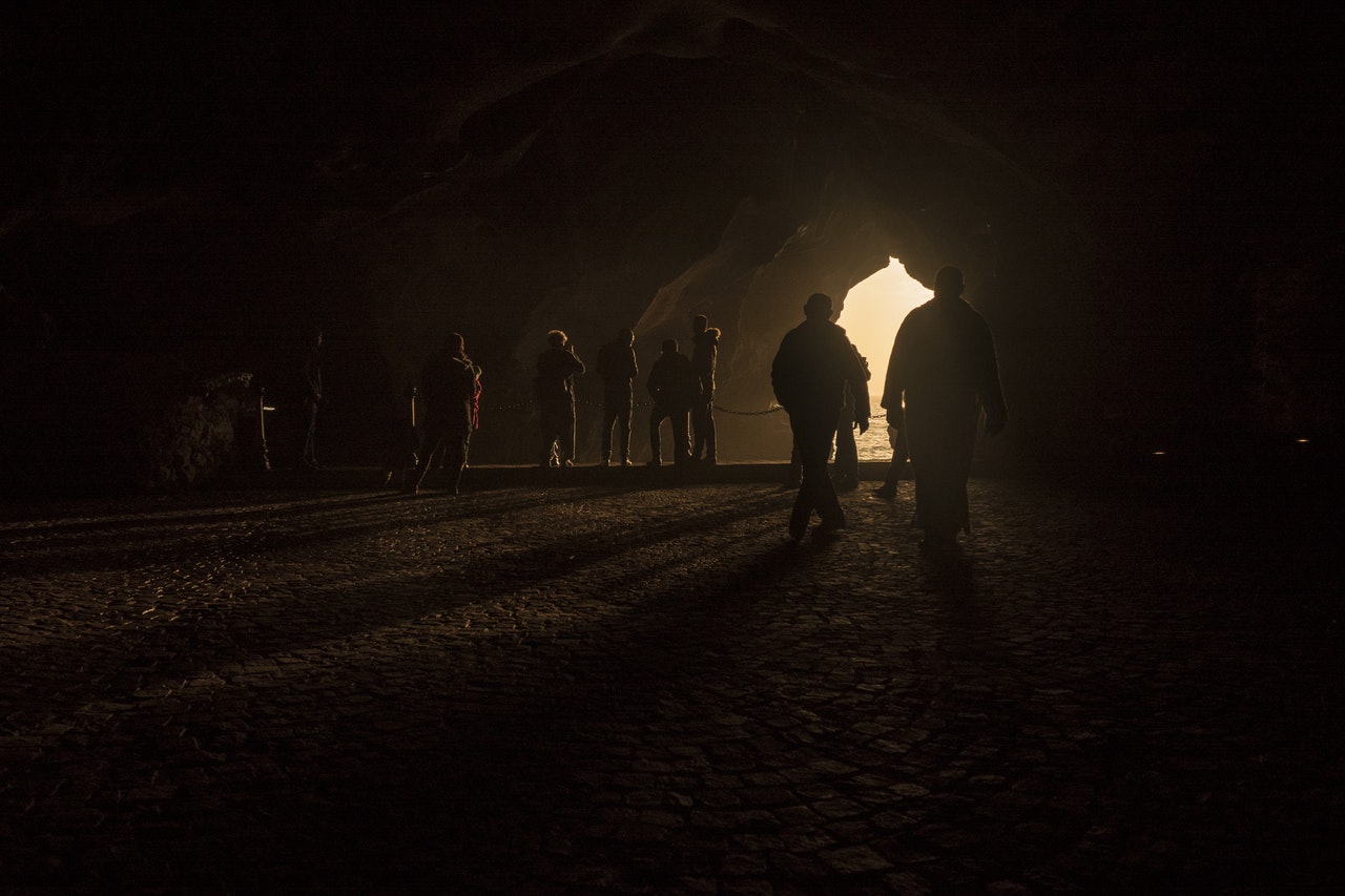
3D Cave Mapping using UAV’s as Robotic Co-Archaeologists
We propose the concept of drones capable of functioning as “Co-Archaeologists” that can map large caves and enter dangerous or hard-to-reach spaces. Using RGB-D data collected by drones, we will be able to produce accurate 3D models and semantic maps with proper lighting co-supervised by human archaeologists. This is going to be a major advance in archaeological practice, which can accelerate the speed of archaeological exploits by extending the archaeologists' sight and perception range.
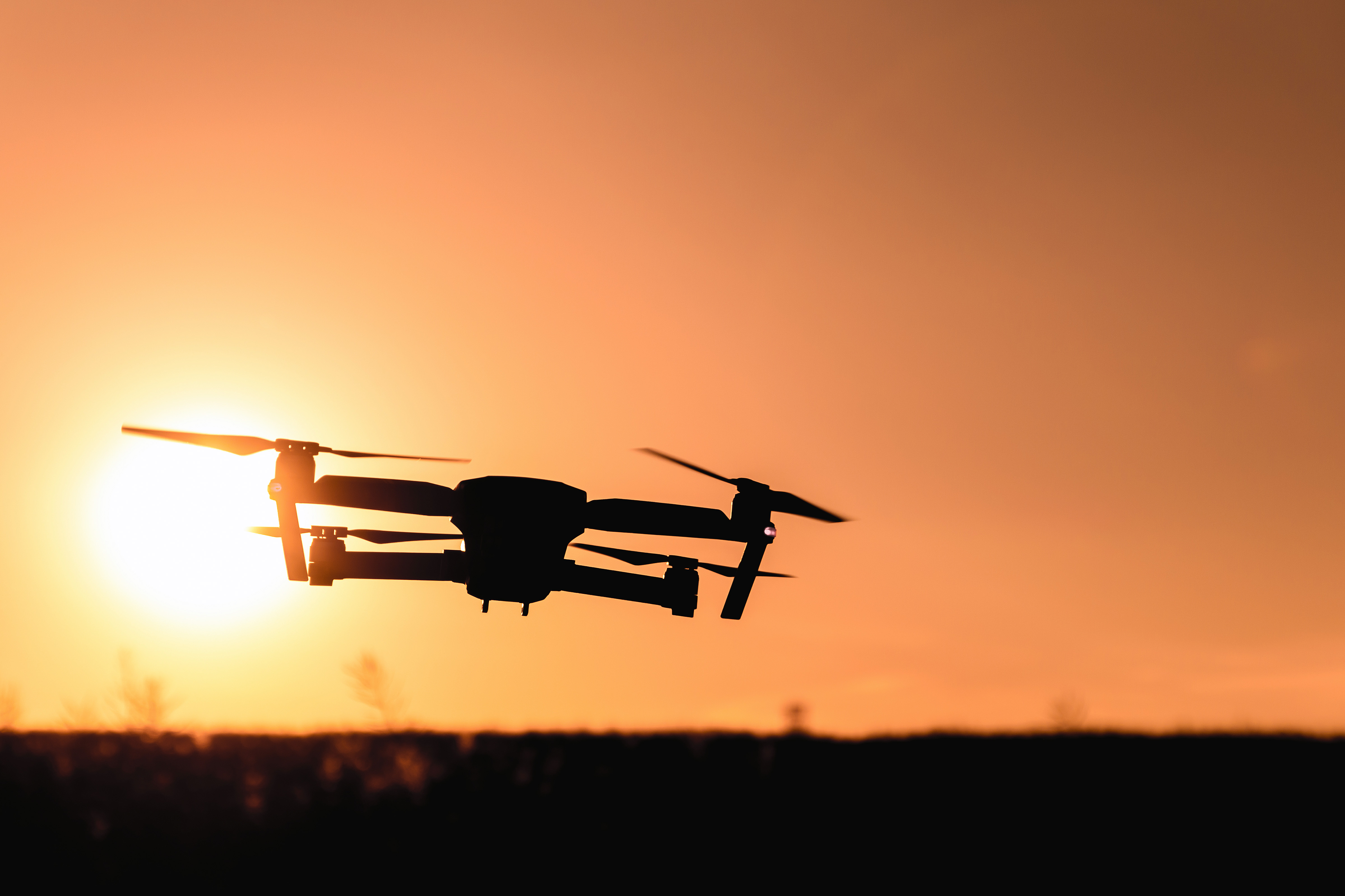
Embedding Consequence Awareness in Unmanned Aerial Systems
Small unmanned aerial systems (UAS) are becoming more and more prevalent, driven by consumer interest and their potential for revolutionizing aspects of commercial applications, such as delivery of urgent goods. The expected ubiquity of such systems raises concerns about their safety, and the ability of such autonomous systems to operate safely in densely populated areas (where their value will be greatest).
In this project, we outline a new framework aiming to adding an additional layer of safety to aerial systems operated by a human pilot or autopilot by monitoring the UAVs environment for visual cues, and monitoring the human pilot for signs of distraction. The system will endow a UAS with the ability to reason about its safety, and the consequences of safety failures during its operation. The UAS will furthermore continuously reason about possible safety maneuvers in response to likely failures -- in the event of an emergency, the vehicle can then execute its last safe maneuver, thus reducing the system’s impending danger. Embedding consequence awareness in sUAS is an obvious appeal to safer and more insurable missions.

Applicability of Estimating and Measuring Wind with sUAS using Mini Ultrasonic Anemometers
Understanding wind speed and direction in atmospheric science has important applications in the gas pipeline industry as well as in meteorology at sub-boundary layer levels. This work looks at the applicability of measuring wind speed and direction with mini ultrasonic anemometers onboard small unmanned aerial systems. The motor bias is quanitified through experiments for fixed wing and multi-rotor platforms at different placement locations.
Image Processing
Agisoft PhotoScan is a stand-alone software product that performs photogrammetric processing of digital images and generates 3D spatial data to be used in GIS applications, cultural heritage documentation, and visual effects production as well as for indirect measurements of objects of various scales, and visual effects production as well as for indirect measurements of objects of various scales
Wisely implemented digital photogrammetry technique enforced with computer vision methods results in smart automated processing system that, on the one hand, can be managed by a new-comer in the field of photogrammetry, yet, on the other hand, has a lot to offer to a specialist who can adjust the workflow to numerous specific tasks and different types of data. Throughout various case studies PhotoScan proves to produce quality and accurate results.
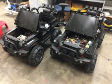
UGV (Unmanned Ground Vehicle)
Unmanned Ground Vehicles will be utilized to roam fields autonomously for data collection in identifying any crop damage or other agricultural purposes. Perfecting the complex circuitry to integrate the servos, sensors and pixhawk into a fully autonomous system. Fully autonomous ground vehicals allow for farmers to gather information on thier crops faster and cheaper compared to human workers. UGV's have the potential to have a varity of other impacts in the field of percison agriculture.
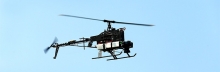
Leptron Helicopter Restoration
USDA owned Leptron helicopter was mainly used for pesticide spraying and small cargo transportation. After an unfortunate crash many of the internal components and the parts of the frame were severely damaged. This project is to rebuild the damage components including the frame, vibration dampers and all the internal electronics. The main goal is to switch this helicopter to fly autonomously once again using open source pixhawk system.
Previous Undergraduate Research Topics